Android
Available- Requires
- Android 7.0 or later, phone or tablet
- Get it from
- Google Play, Amazon Appstore
Offline maps for the field
Topographic maps, GPS navigation, 3D terrain and team tools. Save an area before you leave and it all keeps working on the device, with no signal. On Android and the web.
2D or 3D
One tap moves between 3D terrain and a flat 2D map. Contours, the MGRS grid and your markers stay in place, and the flat view prints at true scale.
Layers
Basemaps, terrain, contours, routes, your markers and your team's positions are all stored on the device. A connection adds live updates when you have one, and nothing stops when you don't.
Rendered live from USGS 3DEP elevation, USGS aerial imagery and OpenStreetMap contributors
Works offline
Most map apps expect a connection and stop being useful without one. ZYRNTOPO keeps the maps, terrain and tools you need on the device itself.
When you do have a connection, it's used to sync, to download more maps and to connect to other tools. You never need one to navigate.
How offline worksChoose the area, zoom range and layers on any device.
Tiles and terrain for the area come down once.
Kept in persistent storage the system will not reclaim.
No signal and no server, and the map still works.
GPS position, routes, bearings and MGRS on the device.
Tracks, markers, photos and notes are saved locally.
Slope, viewshed and profiles are computed on the device.
When a link returns, changes go out and come in.
Features
Everything here ships today on the devices listed with it. The first four run live in your browser, on the same Mount Rainier data as the map above.
Pick an area, download its maps and terrain, then navigate it with no connection.
Download selected area
Drag the box or pull its corners to frame the area, then choose zoom and download.
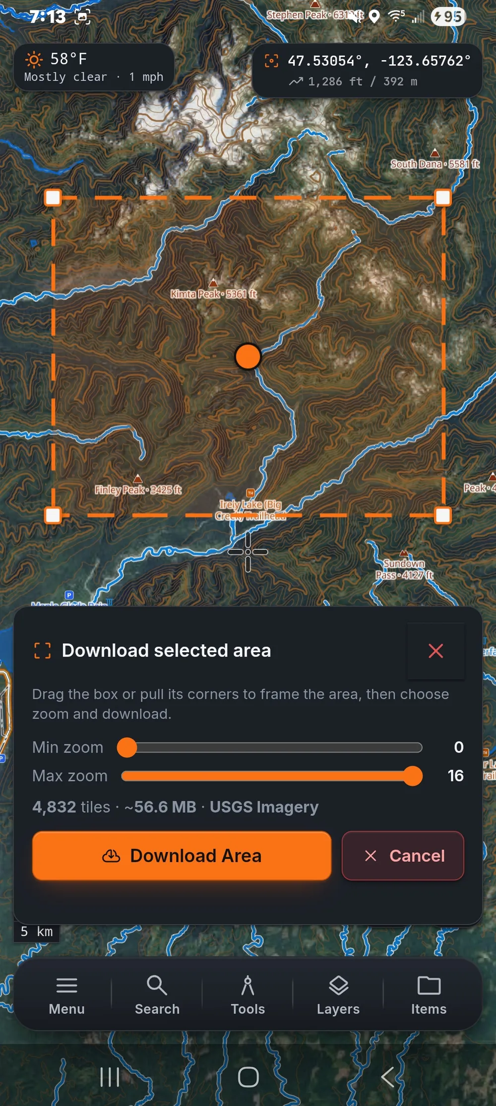
The same tool on Android
Ships onAndroid Web
See what is visible from a point, which slopes are steep and how a route climbs, all on the device. Try it on the south side of Mount Rainier.
Ships onAndroid Web
Drop markers, draw lines and areas, and measure distances. Everything you add keeps its position, elevation and time, and exports to common file formats.
Ships onAndroid Web
Share positions, markers, tracks and chat over the internet, a local network, a mesh radio or a TAK server you run yourself.
Ships onAndroid Web
Bring data in and send it out in the formats other tools use, add your own map services, and connect live to TAK and MAVLink.
| Format or protocol | Import | Export | Live |
|---|---|---|---|
| GPXTracks, routes, waypoints | – | ||
| KML and KMZPlacemarks, lines, polygons | – | ||
| GeoJSONFeatures with properties | – | ||
| CSVPoints with coordinates | – | ||
| PDF map sheetTrue scale, with grid | – | – | |
| WMS, WMTS, WFSYour own map services | – | ||
| Cursor on TargetATAK, WinTAK, TAK servers | – | – | Pro |
| MAVLinkDrone position and status, UDP and serial | – | – | Pro |
| MeshtasticPositions and chat over LoRa | – | – | Pro |
Ships onAndroid Web
ZYRN Workstation puts the same maps and tools on a full desktop screen, with 3D terrain, a toolbar ribbon and a live status bar.
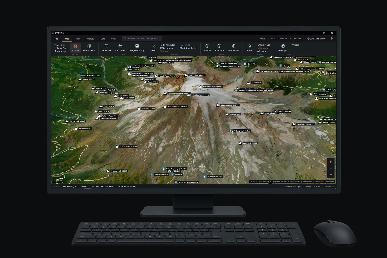
Ships onWindows Linux
Search and rescue
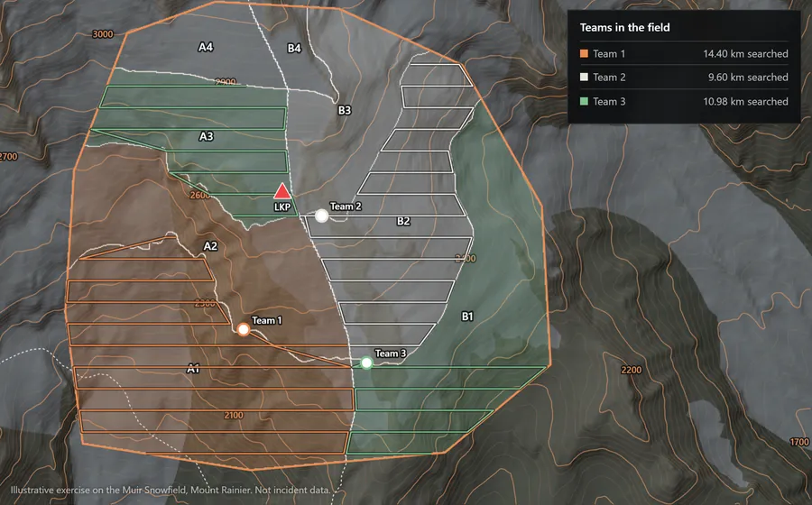
Plan the search area, assign segments to teams for each shift, follow every team, log clues and export the record, on devices that keep working out of radio and cell range.
More on search and rescueIllustrative exercise on the Muir Snowfield, Mount Rainier. Not incident data.
Products
A field app for every device you carry, a 3D desktop app, and the services that link them. One account and one Pro license cover all of it.
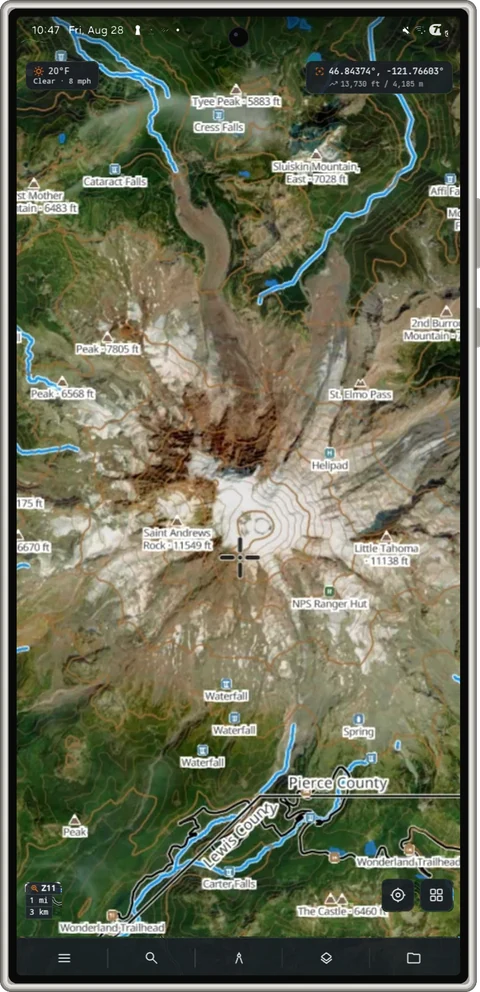
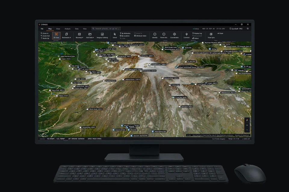
Platforms
The same maps and tools on phones, tablets and in the browser, with ZYRN Workstation on the desk. Data you prepare on one device moves to the next in open formats.
Full system requirementsiOS is planned and not yet available. Fire tablets install ZYRNTOPO from the Amazon Appstore.
Pricing
Every mapping, navigation and terrain feature is free. Pro adds Team Sync, the TAK and MAVLink bridges and the power lines overlay. No seat counts and nothing to renew if you buy it once.
$0
On every platform, no account required
$79.99 once
or $2.99 a month, cancel any time
Buy once and it never expires. 14-day refund.
Company
ZYRNTOPO and ZYRN Workstation are designed and built in Washington State by Grange Dev Group. We list what ships and say plainly where your data goes.
About the companyFree on every platform, with no account needed to start.