MGRS everywhere
Grid references on the status bar, in every readout and on printed map sheets, so a position read over the radio lands where it should.
Solutions
The same app serves a search team, an incident command post, a survey crew, a drone operator and a solo hiker. What changes is which tools you use.
Search and rescue
Searches run in shifts, across agencies, often far from coverage. ZYRNTOPO keeps the plan, the teams and the record on every device, with MGRS on every screen and TAK support for searches with other agencies.
Illustrative exercise on the Muir Snowfield, Mount Rainier. Not incident data.
Grid references on the status bar, in every readout and on printed map sheets, so a position read over the radio lands where it should.
Team Sync, nearby TAK devices and a self-hosted TAK server put field teams and partner agencies on the same map.
Tracks, clues and segments export to GPX, KML and GeoJSON for the after-action report and other mapping tools.
Emergency management
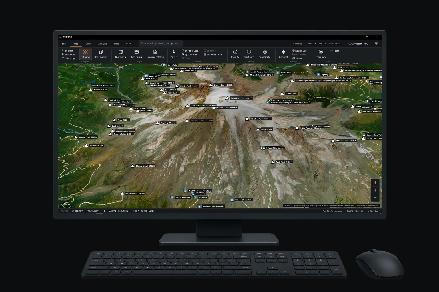
An incident command post needs the same map as its teams, often before the network is back. ZYRNTOPO and ZYRN Workstation keep the map, terrain and plan on each device and sync when a connection is available.
Field work and survey
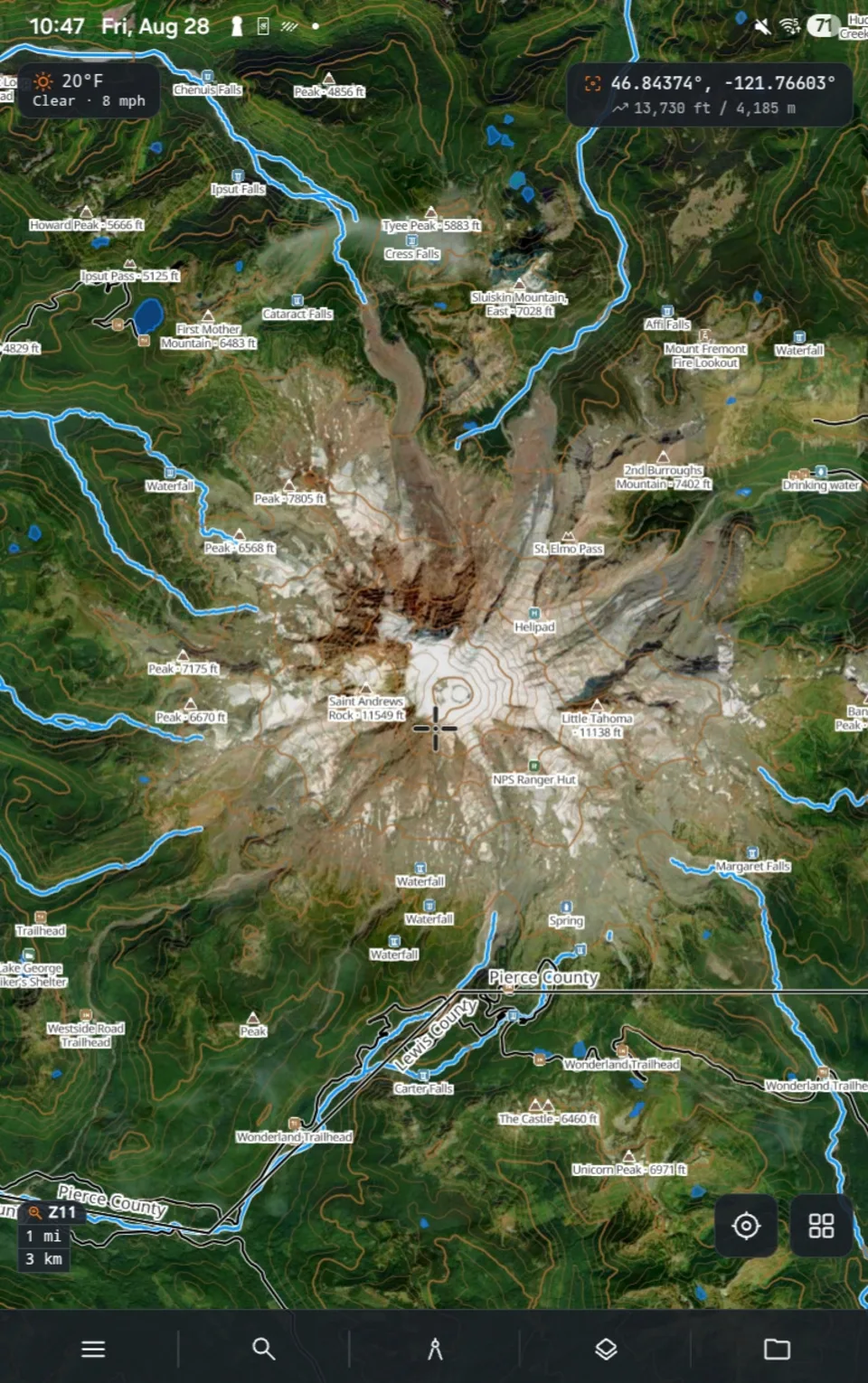
Draw and measure on offline basemaps and terrain, photograph and annotate what you find, and move it all in and out in the formats your office already uses.
Drone operations
ZYRNTOPO is the map side of a drone flight, not the flight controller. MAVLink drones show up on the same map as teams, segments and terrain, so the people planning the search can see where the aircraft is.
Backcountry travel
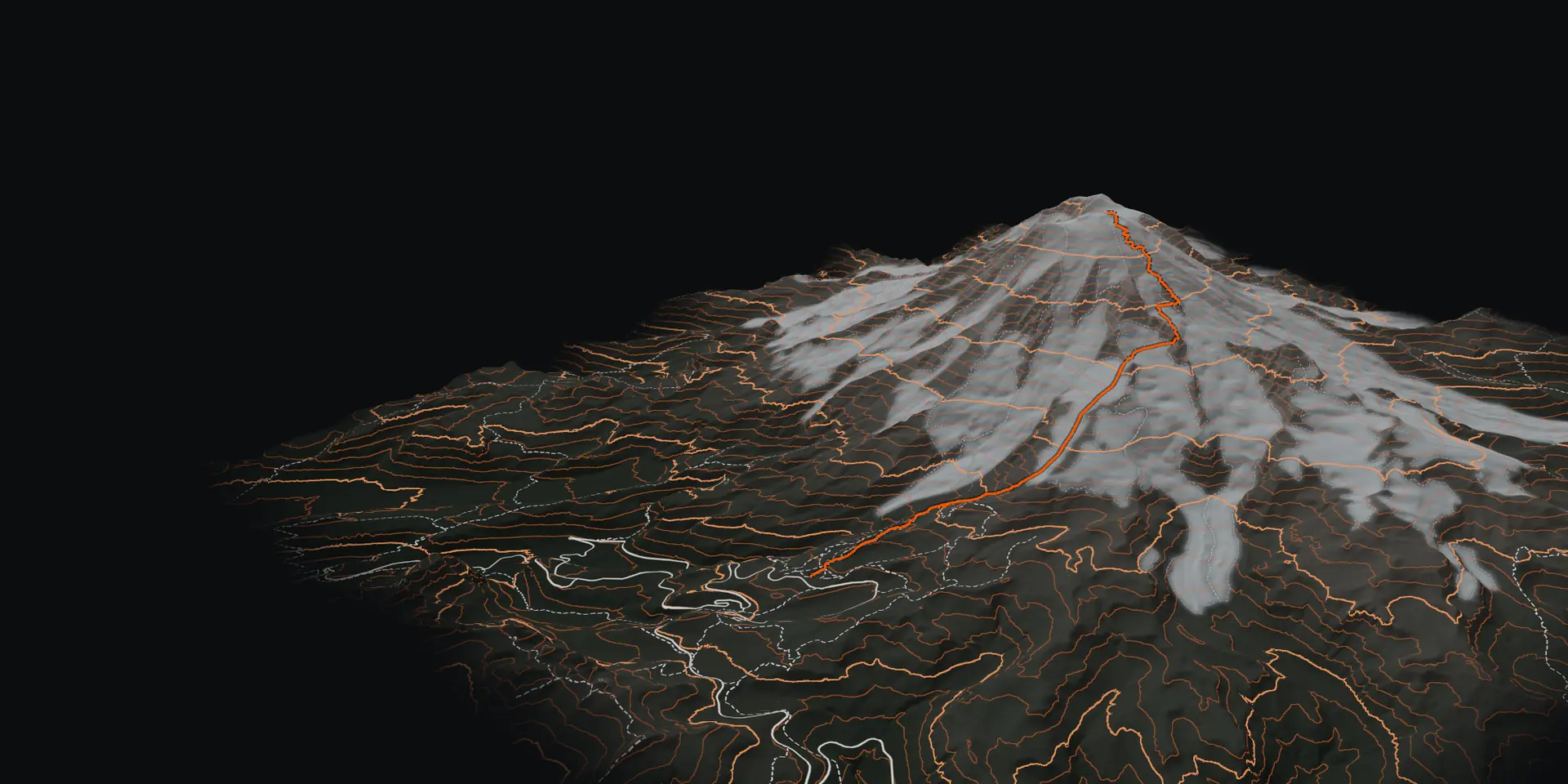
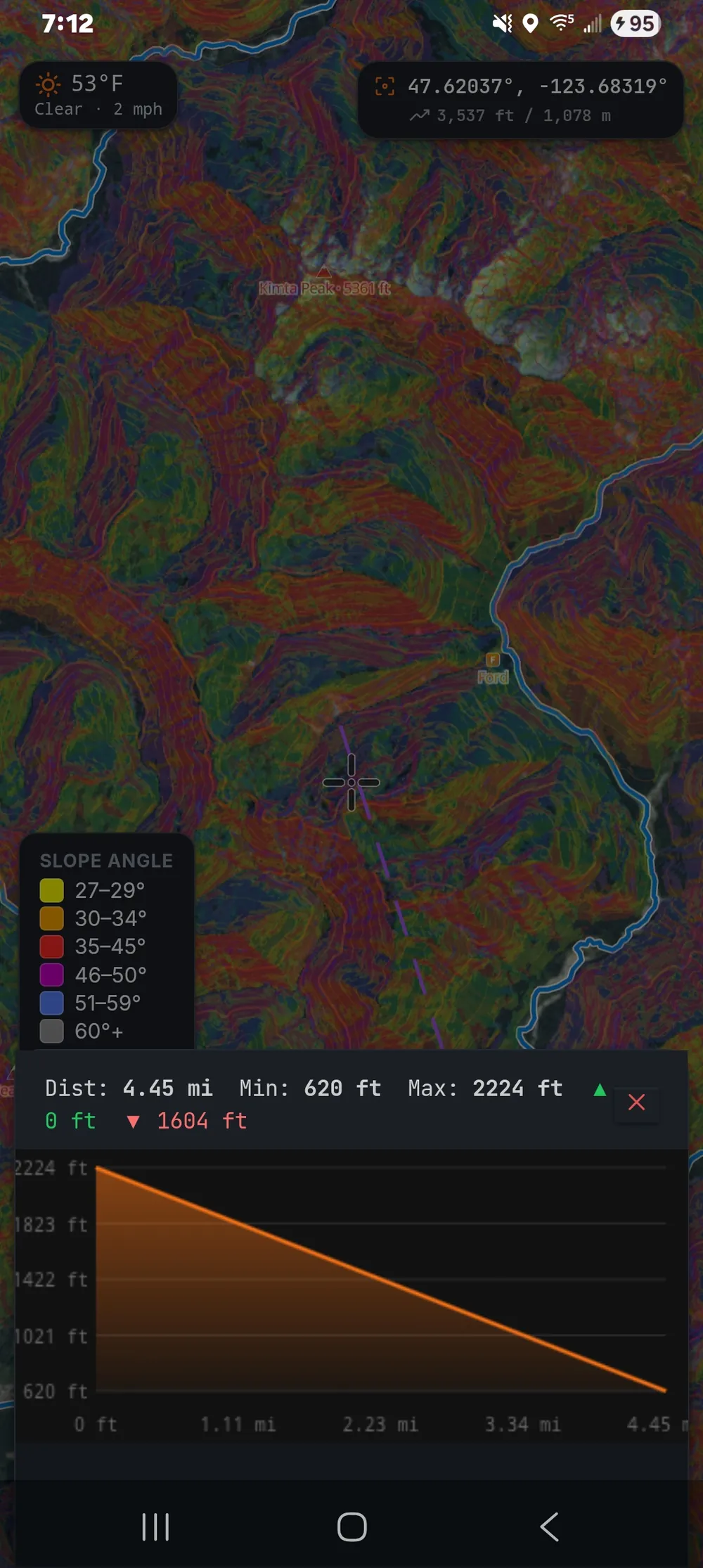
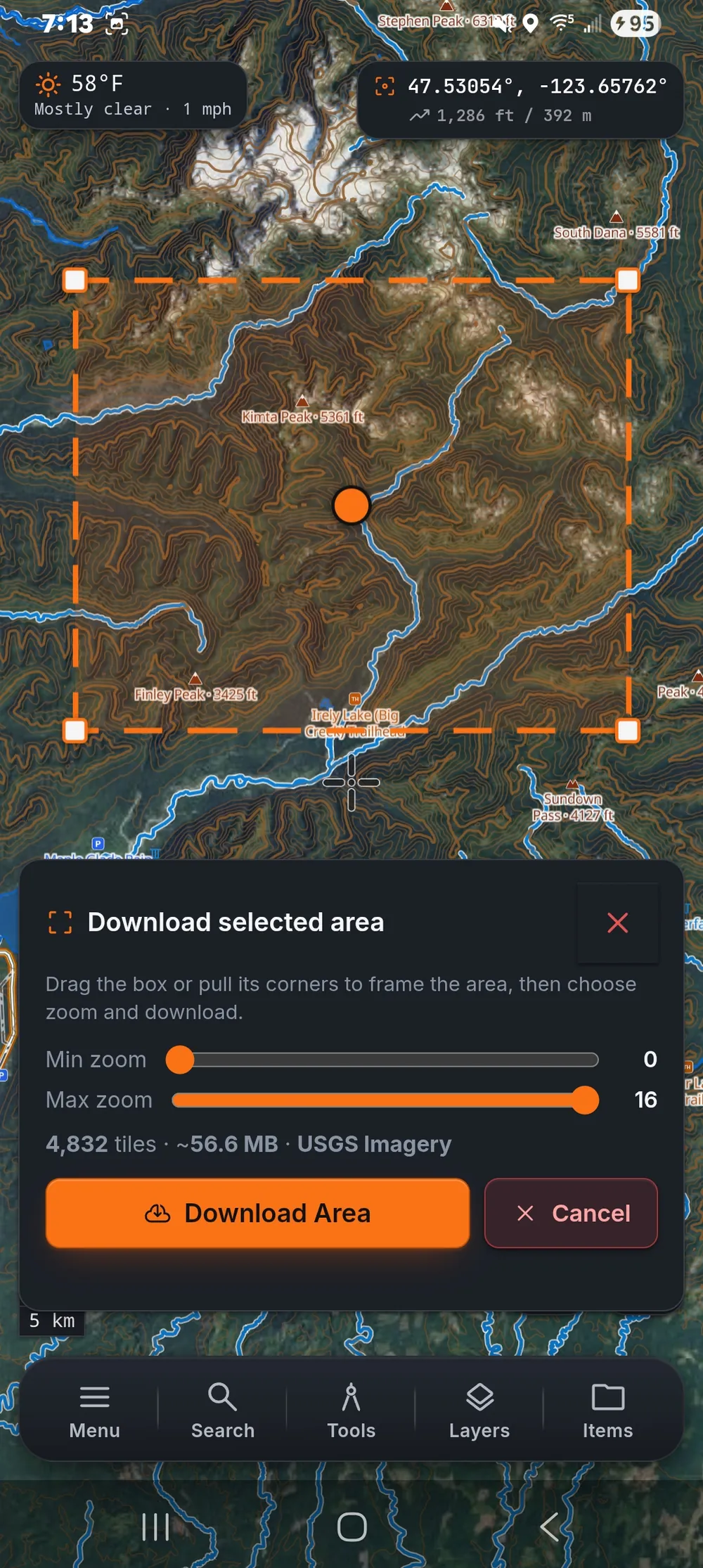
Everything a solo trip needs is free: offline maps, GPS navigation, 3D terrain, slope shading for avalanche terrain and printed map sheets for the pack. No subscription and no account to start.
Free on every platform. Pro when your team needs Team Sync.